NDVI and crop monitoring
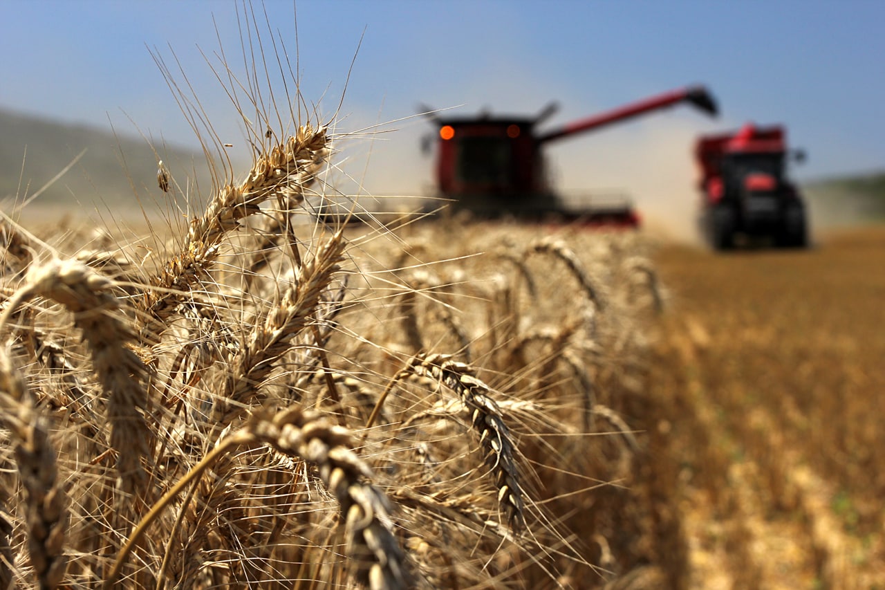
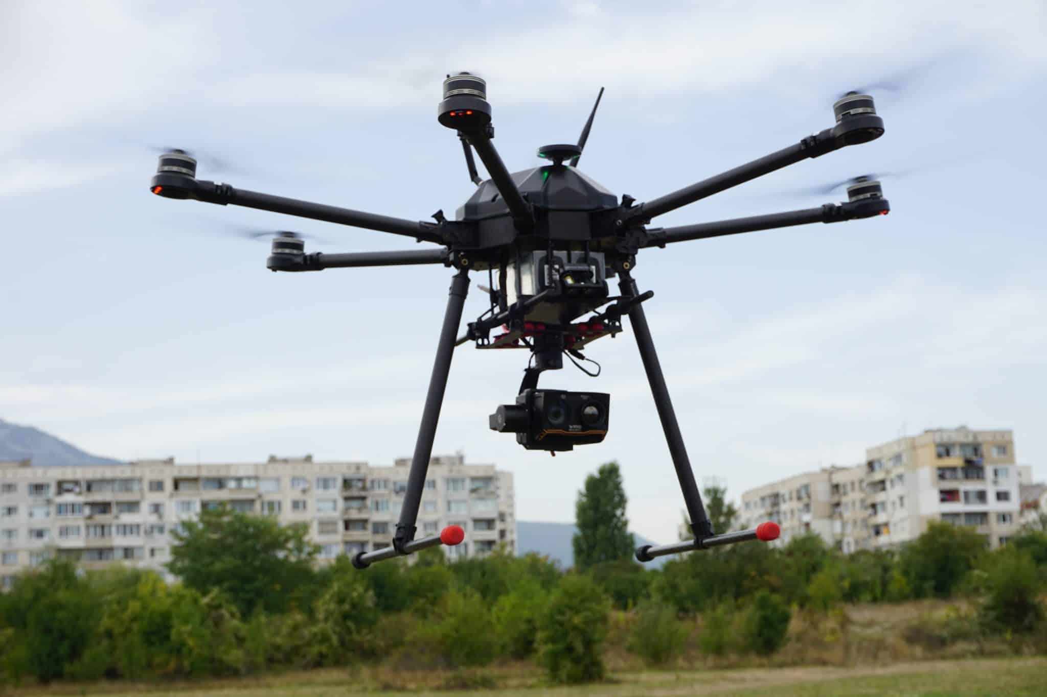
By the end of 2015, we designed, tested and developed a comprehensive methodology for using a remote-controlled aerial mapping platform on farm fields using an eNDVI camera. Based on the vegetation index, we have proposed an integrated solution for analyzing data and generating variable rate application maps.
Uploading of the variable rate application maps and their use in compatible inventory management terminals has led to not only a significant increase in yield but also a reduction in direct cost of fertilizers and chemicals by up to 20%.


