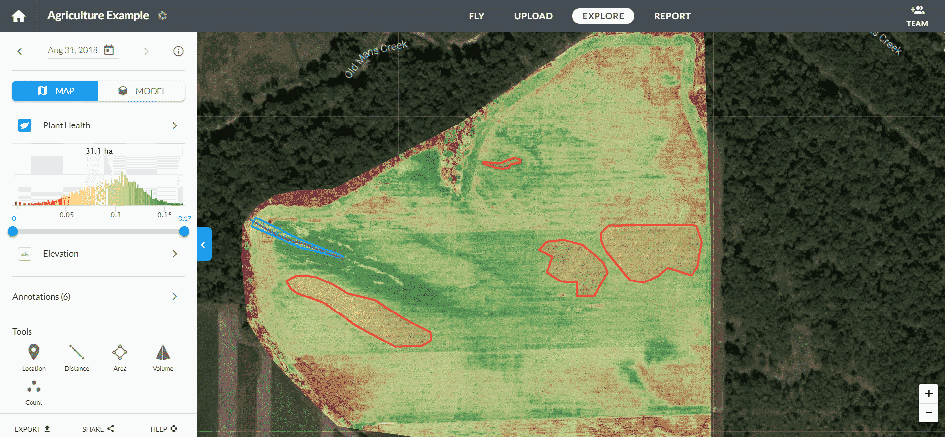
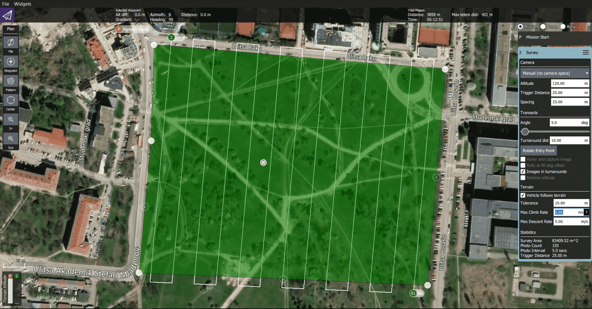
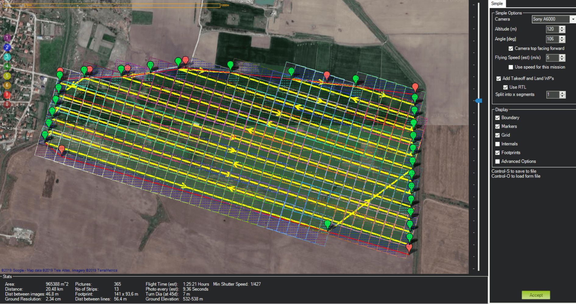
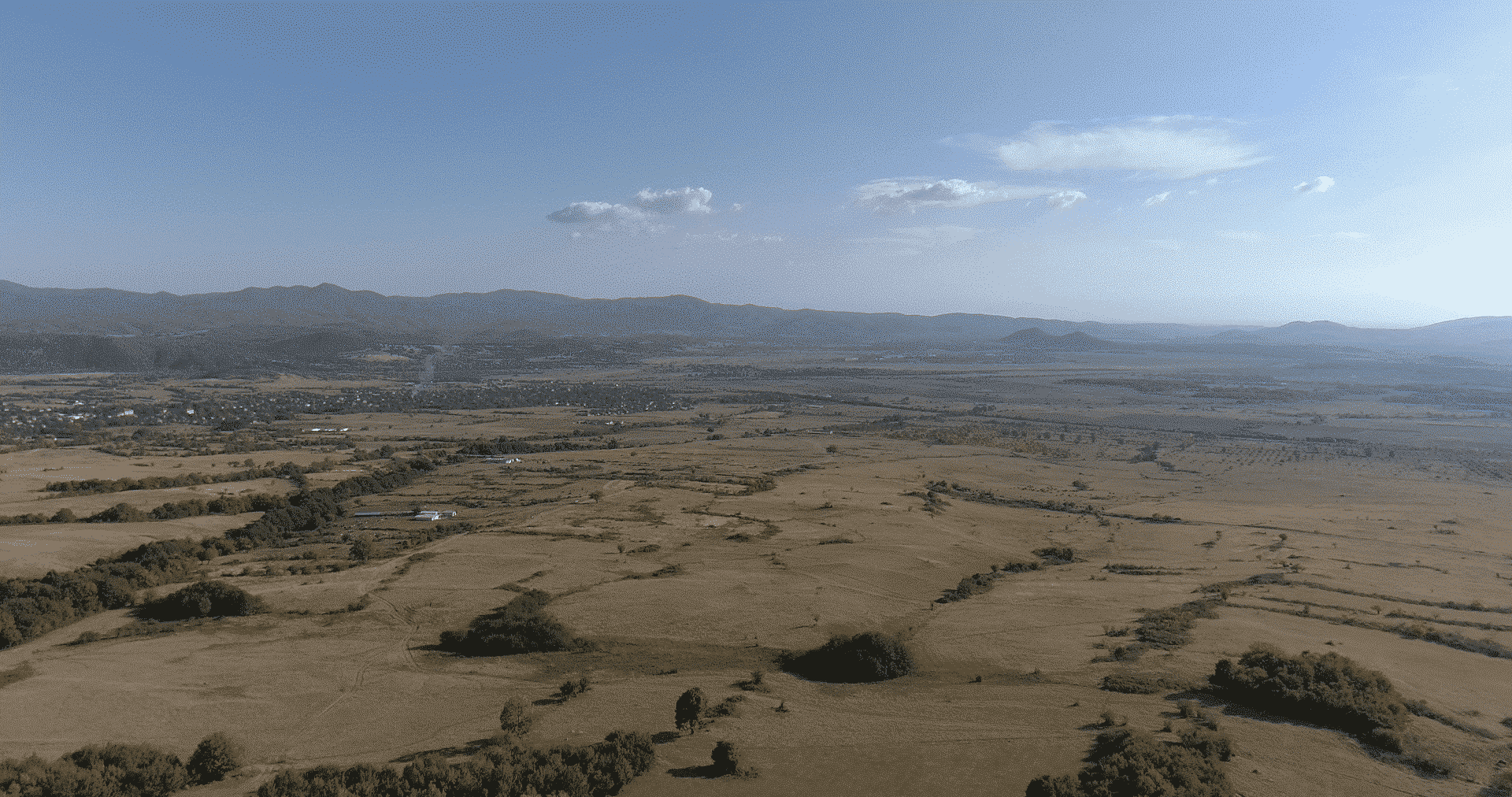
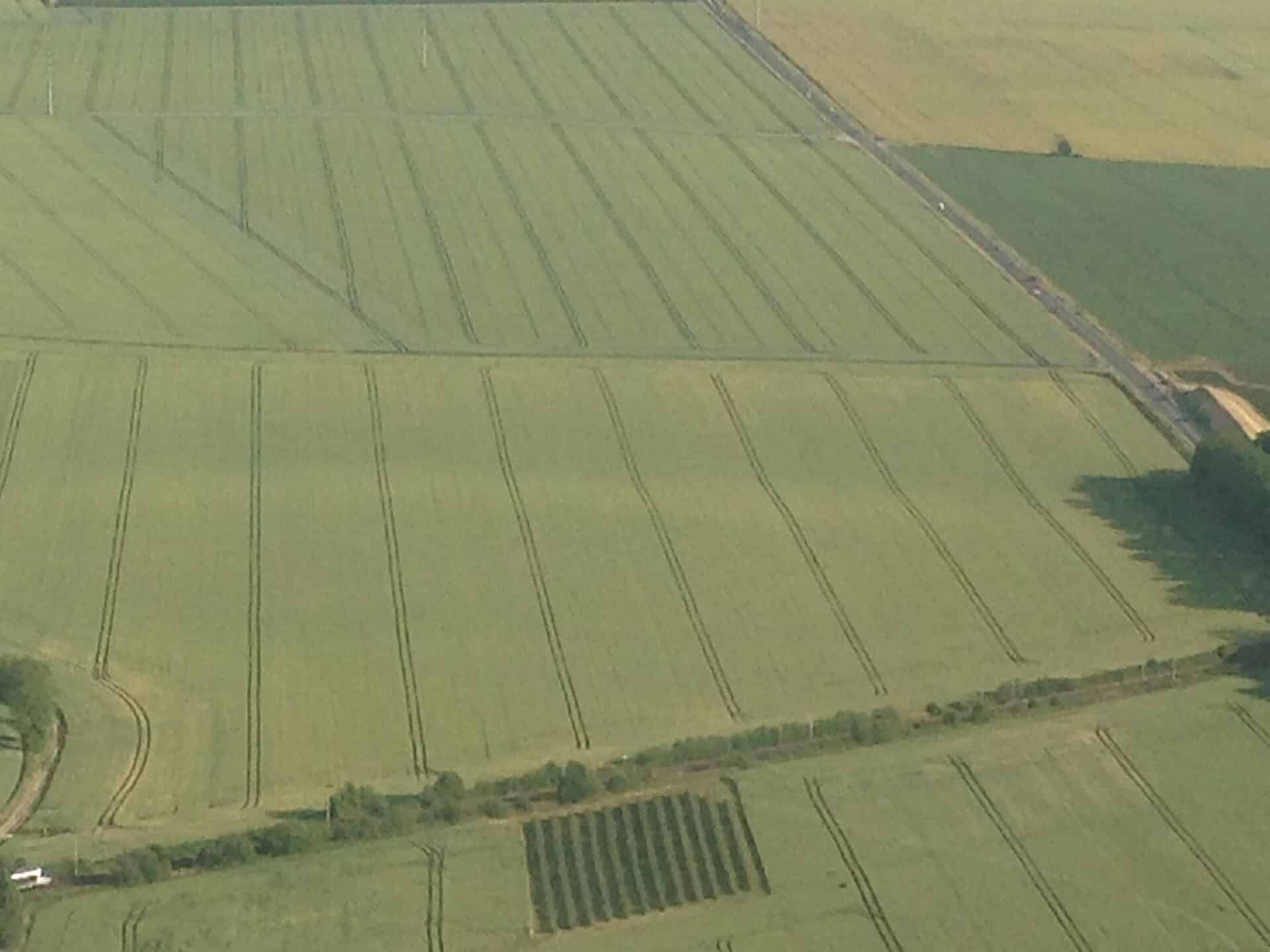
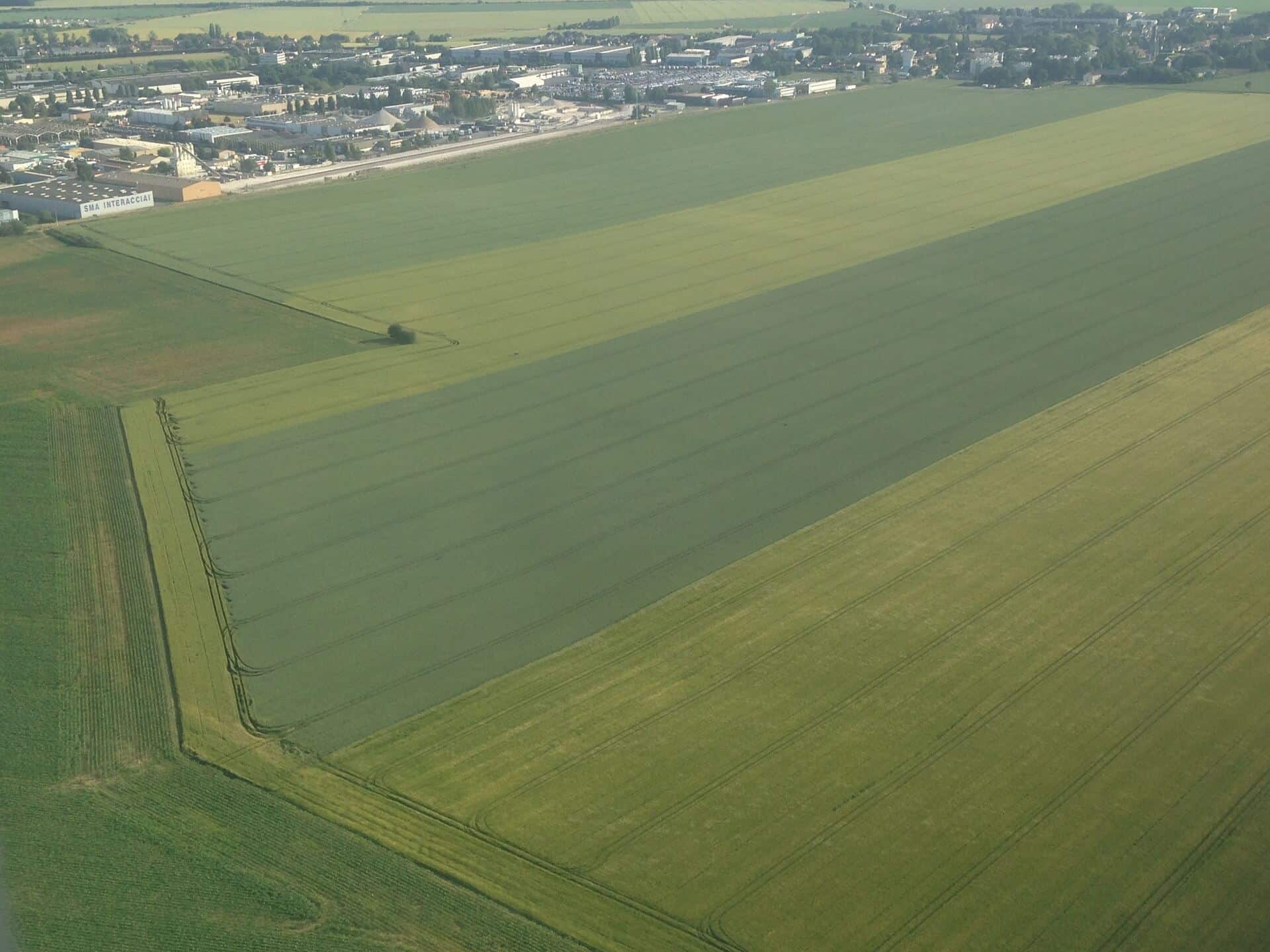
Aerial mapping and variable application maps
Aero Vision Ltd provides an opportunity for every farmer to accurately and reliably analyze the condition of crops in all phases of growth, using remote monitoring and air mapping. The resulting data is analyzed and descriptions are generated according to a number of factors, such as humidity, chemical elements, growth phase.
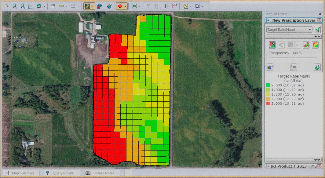
Aero Vision Ltd can provide the farmers with a comprehensive solution, as all the data obtained from the DULS can be compared with soil analysis data and ensure optimal crop treatment at any moment with the help of the generated maps for Variable Rate Application (VRA) maps.


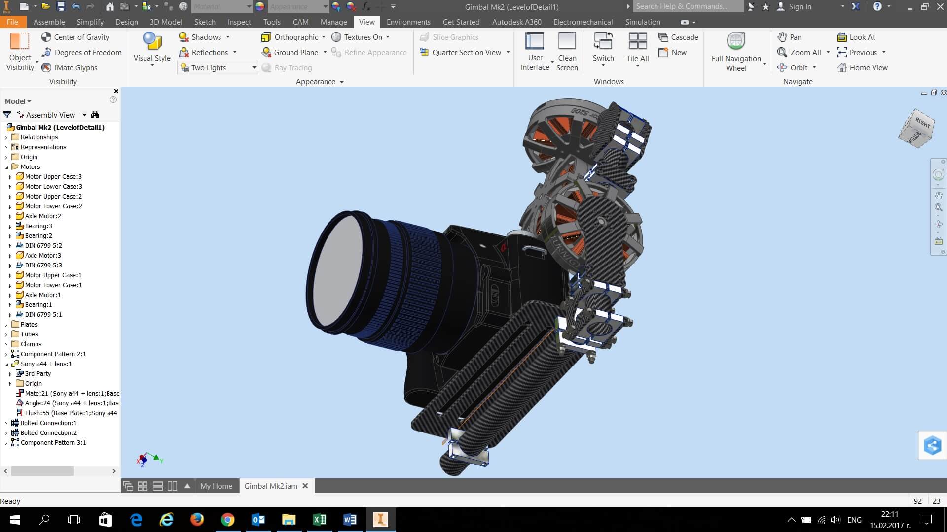
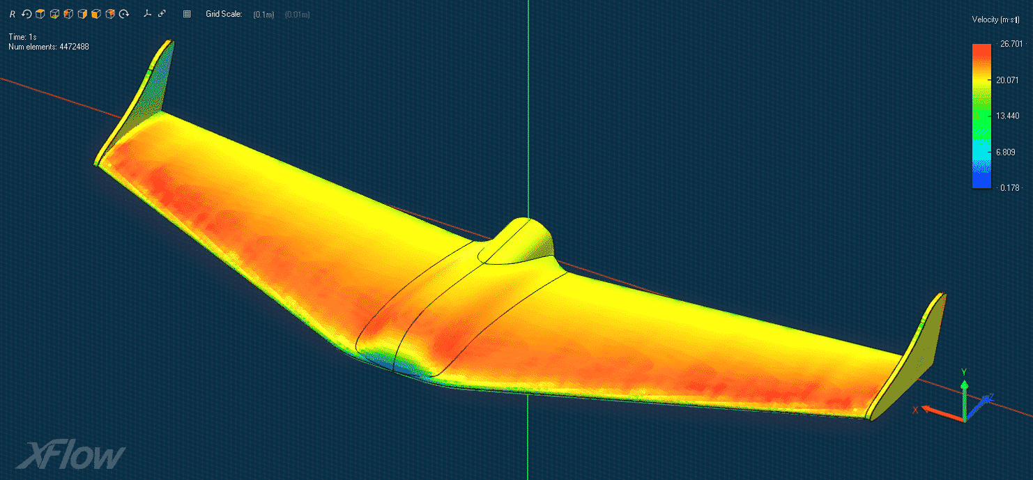
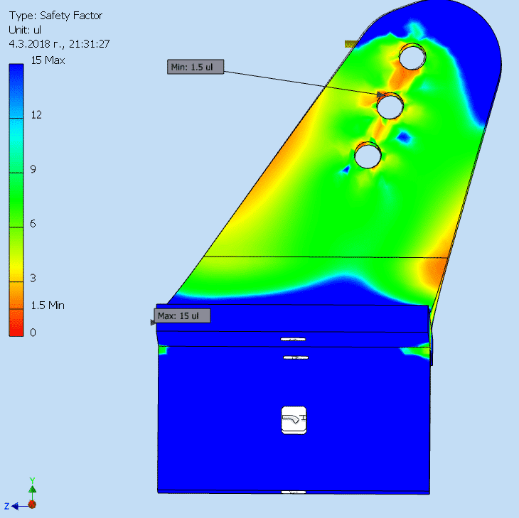
Design, simulation and manufacturing
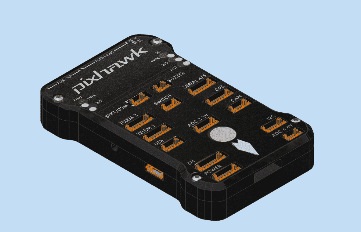
Underlying the philosophy of Aero Vision Ltd is the innovative thinking and the professional use of the available software and hardware solutions for automated design, simulation and manufacturing of innovative engineering products.
To assist any customer with innovative ideas, Aero Vision Ltd offers a conceptual modeling using all engineering techniques for automated design and simulation analysis through FEA (Finite Element Analysis) and subsequent manufacturing through 3D printing and CNC processing.


Professional video and photographic shooting
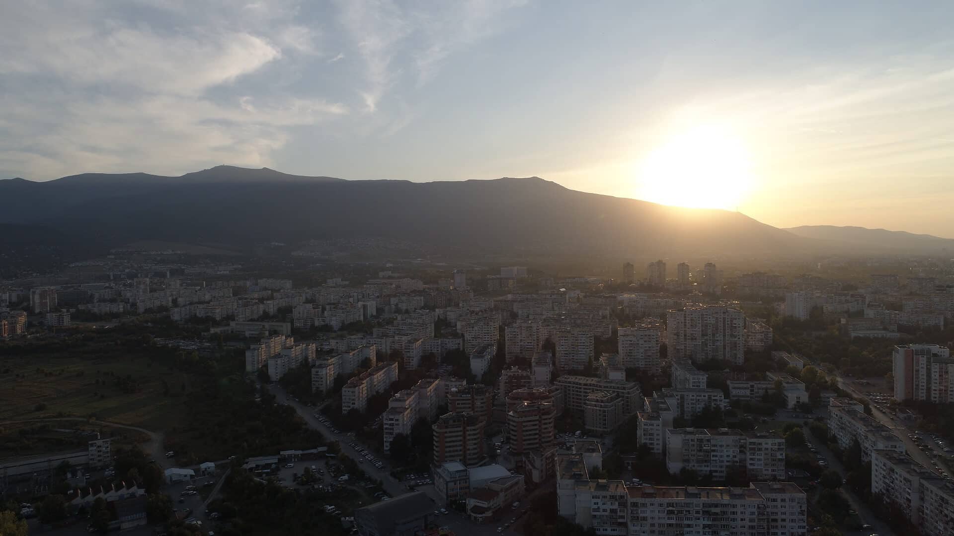
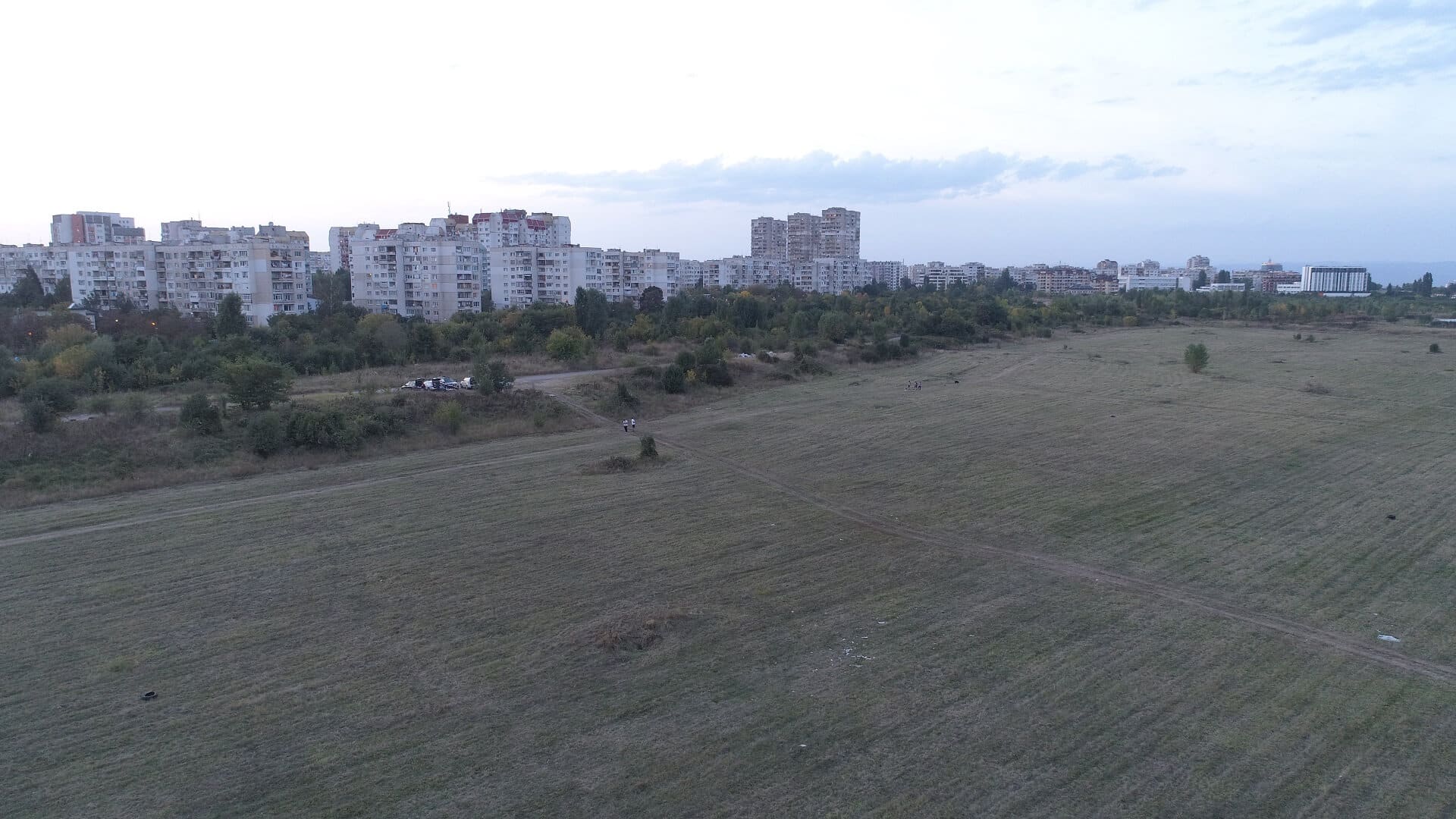
The experience and competence of our team, established with the time, ensures professional shooting of documentaries, commercial clips and cinematographic recording of various public events.
Part of the company’s services include post processing of video and photo materials using professional software products to obtain a finished photo and / or video product.


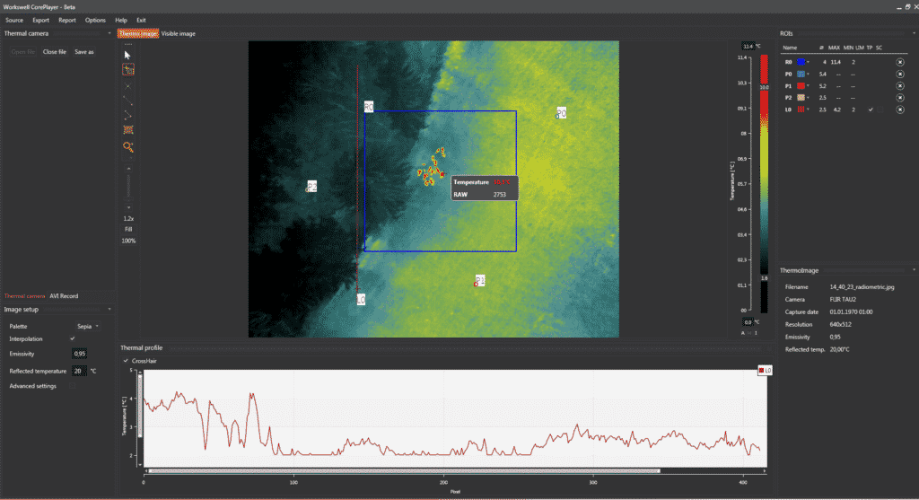
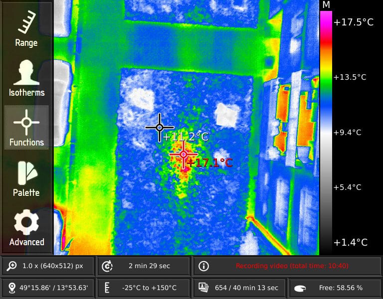
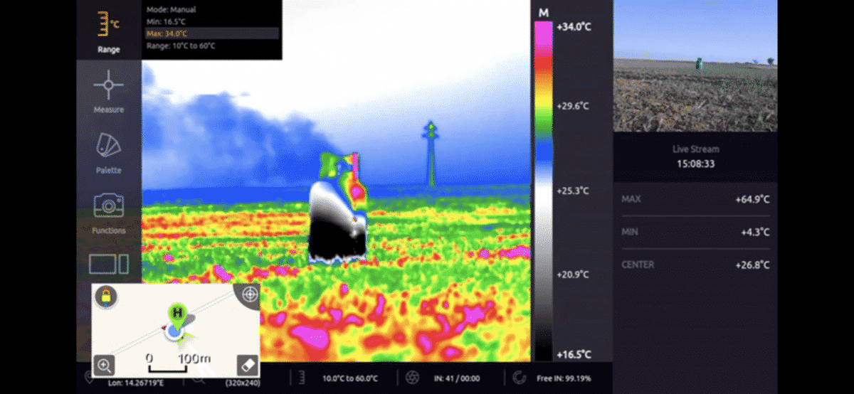
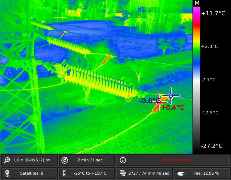
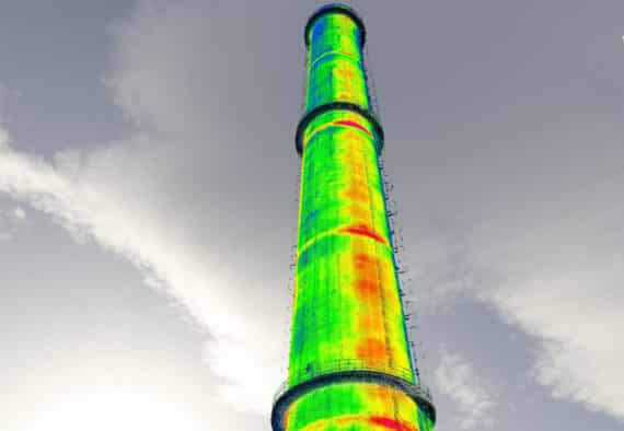
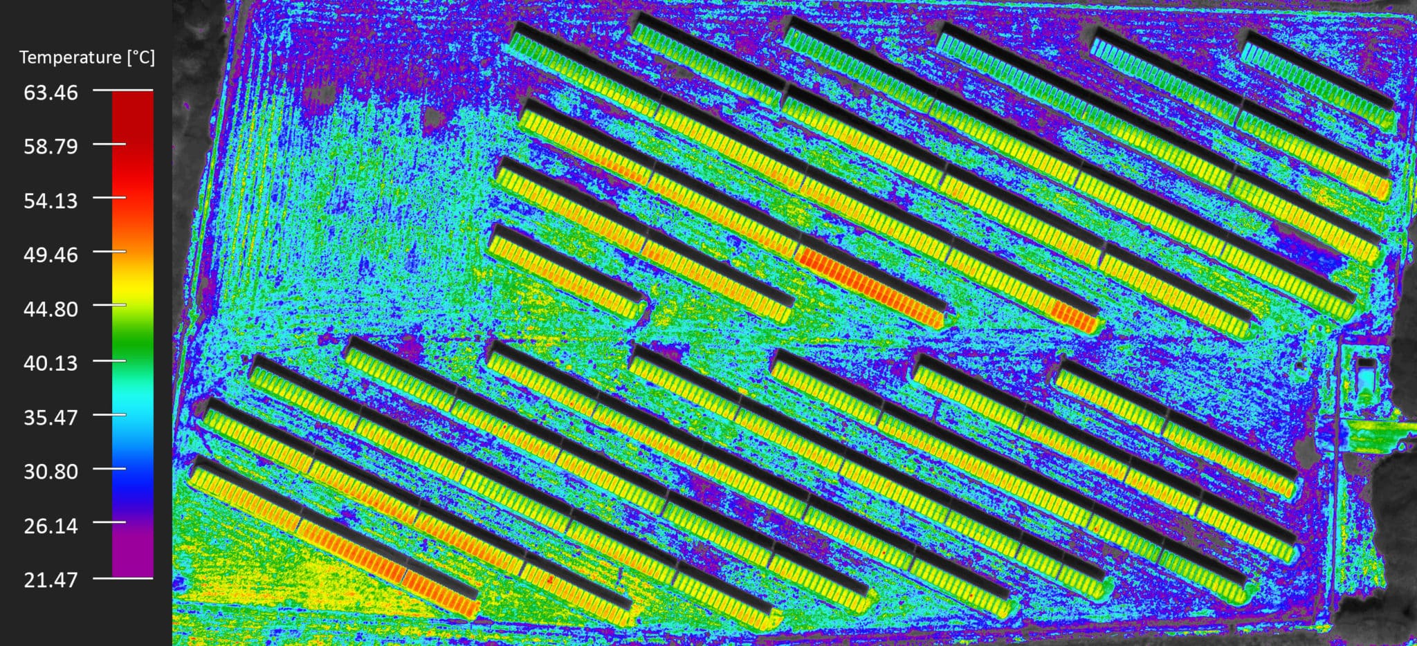
Thermal camera inspection
For its clients Aero Vision Ltd. provides services related to remote monitoring and inspection of various industrial and public buildings and facilities using a professional thermal camera mounted on the UAV.
The analysis of the images, as well as the preparation of a report by a certified NDT specialist give a guarantee for the quality of the performed inspection activities and reliable results.


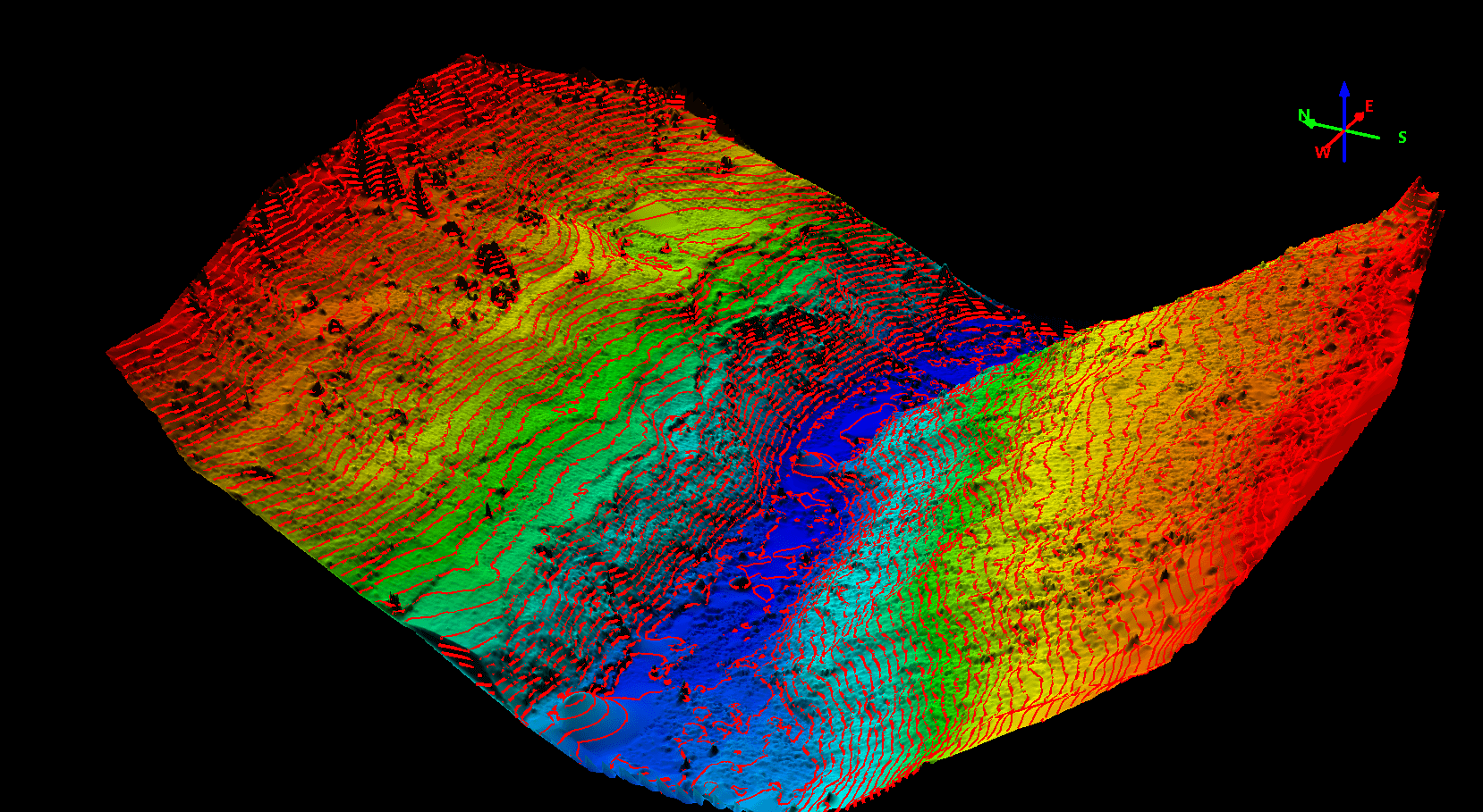
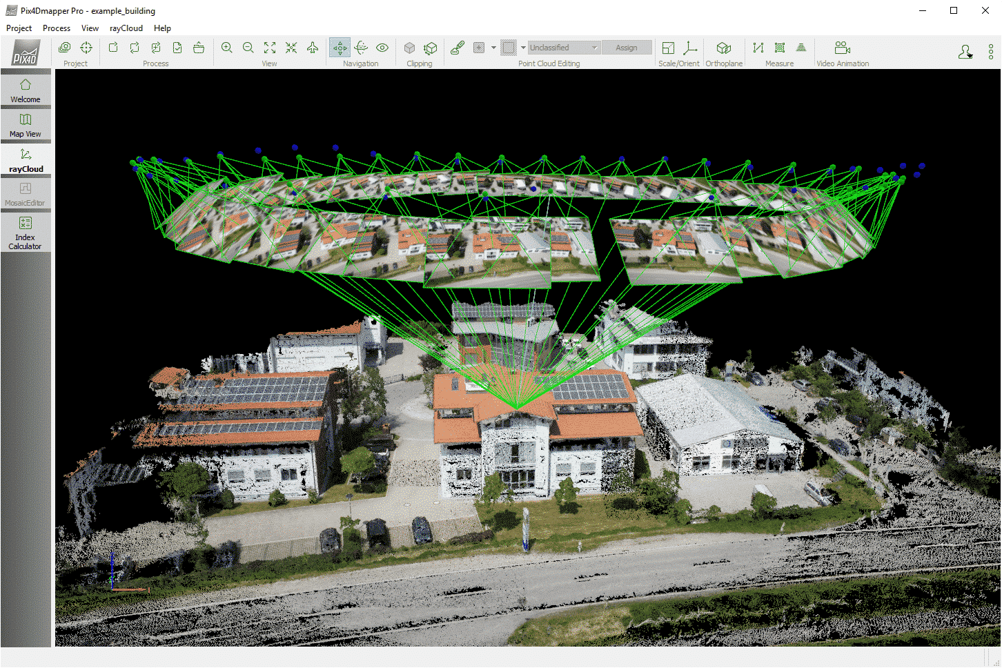
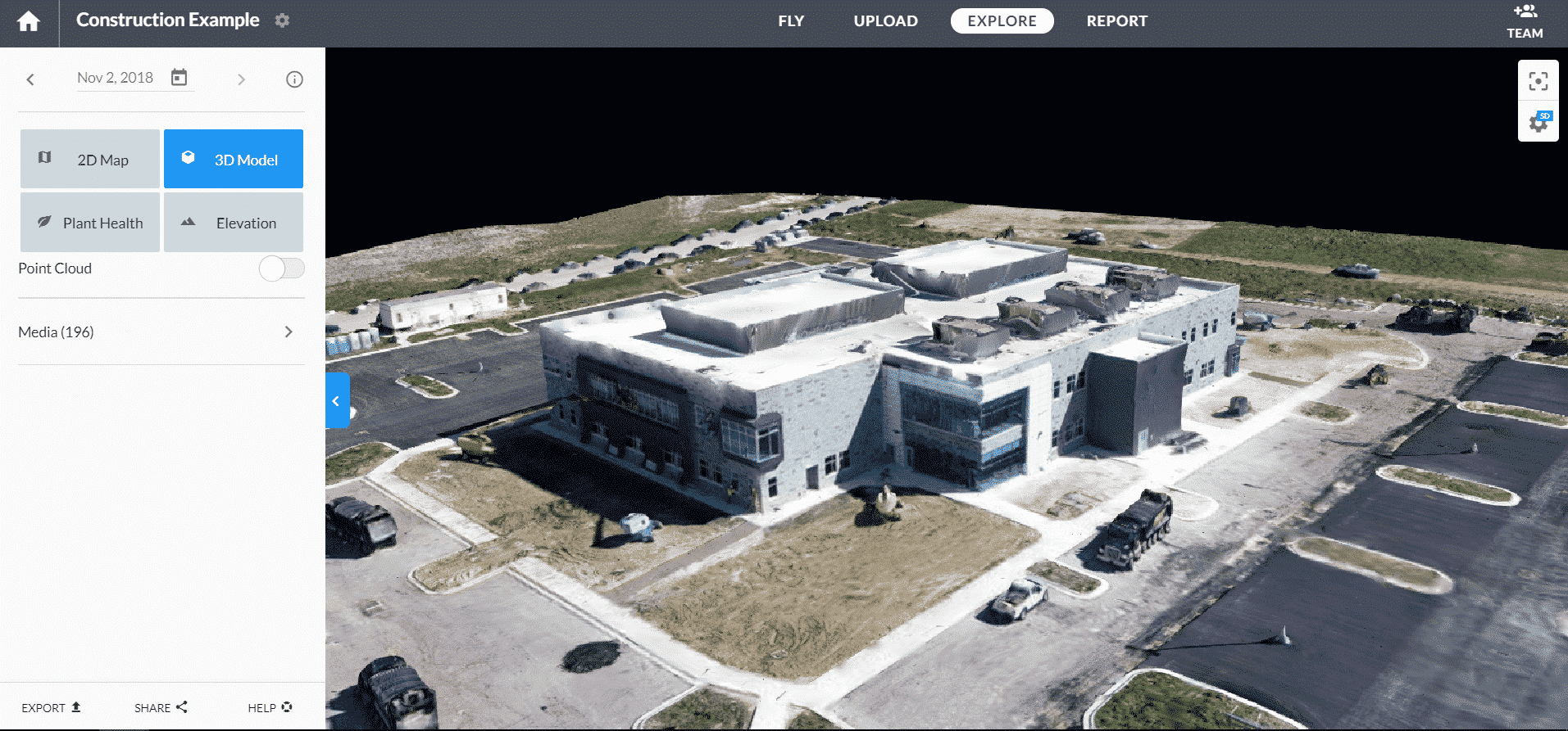
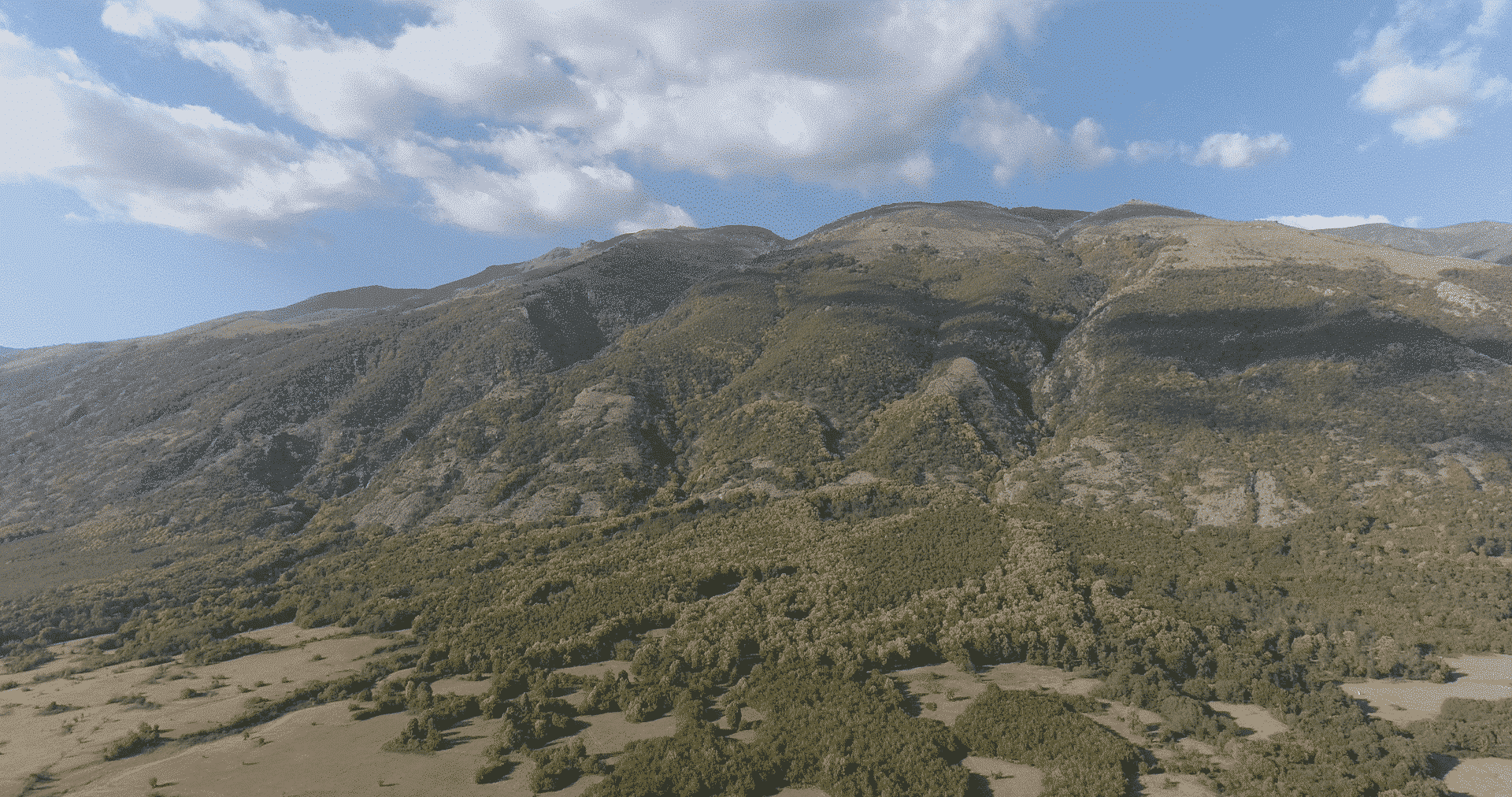
Mapping and 3D models
With the use of various innovative sensors and scanners, Aero Vision Ltd offers to its customers aerial mapping and preparation of 3D models of buildings, objects and contours on the ground surface.
The data from the photogrammetry cameras and laser scanners (LiDARs) in term of georeferenced 3D models can be directly imported into software products in accordance to achieve accurate data analysis for the needs of construction, archaeology and mining.