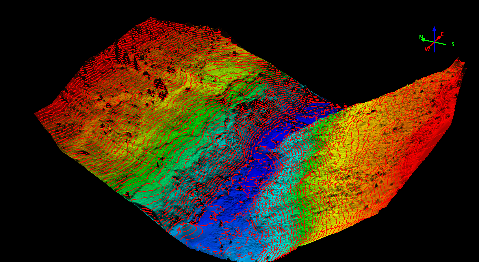
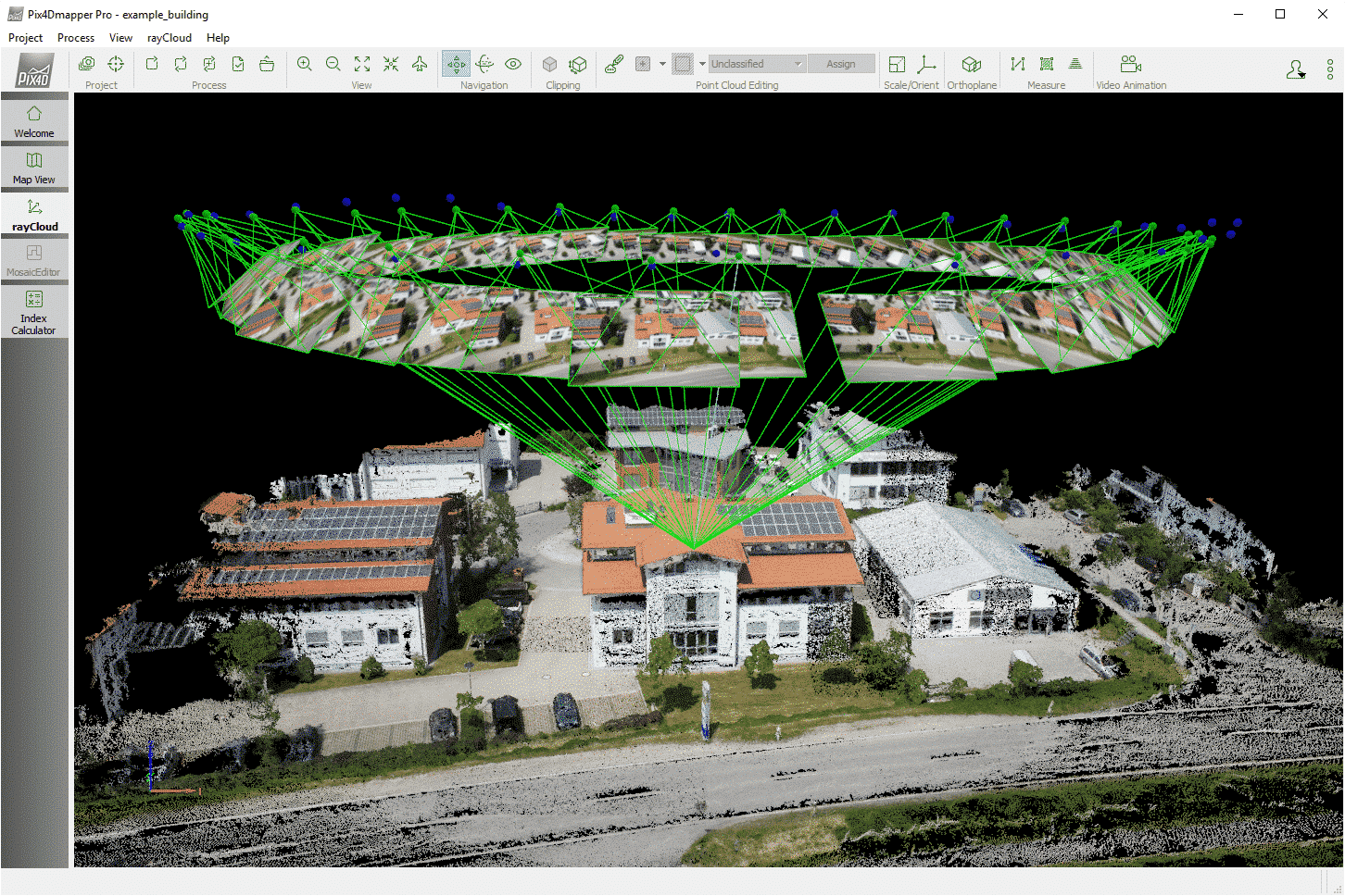
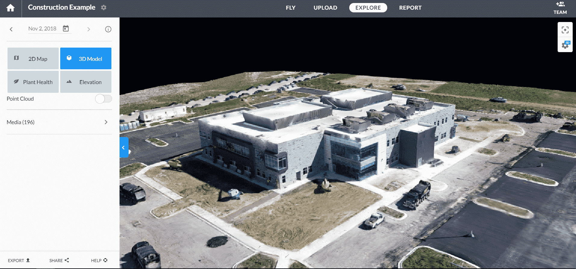
Mapping and 3D models
With the use of various innovative sensors and scanners, Aero Vision Ltd offers to its customers aerial mapping and preparation of 3D models of buildings, objects and contours on the ground surface.
The data from the photogrammetry cameras and laser scanners (LiDARs) in term of georeferenced 3D models can be directly imported into software products in accordance to achieve accurate data analysis for the needs of construction, archeology and mining.


CONTACT US NOW
For more information please contact us
Aero Vision Ltd was founded in 2015 in Sofia, Bulgaria and is one of the fastest growing companies for unmanned aerial vehicles in the country.
CONTACT US NOW